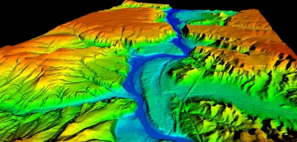
LiDAR (Light Detection and Ranging) technology uses laser pulses to create highly accurate 3D models of the Earth's surface, called Digital Elevation Models (DEMs). Altalis' LiDAR15 DEM offers a balance of accuracy and efficiency for large-area projects, making it ideal for applications like water flow modelling and 3D visualizations where detailed terrain representation is essential. This cost-effective solution empowers professionals across various industries to achieve precise and efficient terrain modelling.


Sold by the township (6 miles x 6 miles), this product offers a budget-friendly alternative to 1m LiDAR for large project areas. Volume discounts available.

Ideal for various industries and applications, including water flow modeling, 3D visualizations, line-of-sight analysis, surface analysis, orthoimage rectification, and more.

Using LiDAR technology, this 1m LiDAR derivative ensures exceptional data quality and accuracy for your projects.
Bare Earth XYZ Coordinates: Provides bare earth XYZ coordinates in ASCII format for seamless integration into various GIS and terrain modelling software.
15m Grid Spacing: Offers efficient coverage for large areas while maintaining sufficient detail for many applications
Township Units: Sold in convenient township units (6 miles x 6 miles) for easy project planning and management
Applications: Span water flow modeling, 3D visualizations, line-of-sight, surface analysis, orthoimage rectification, and more.